
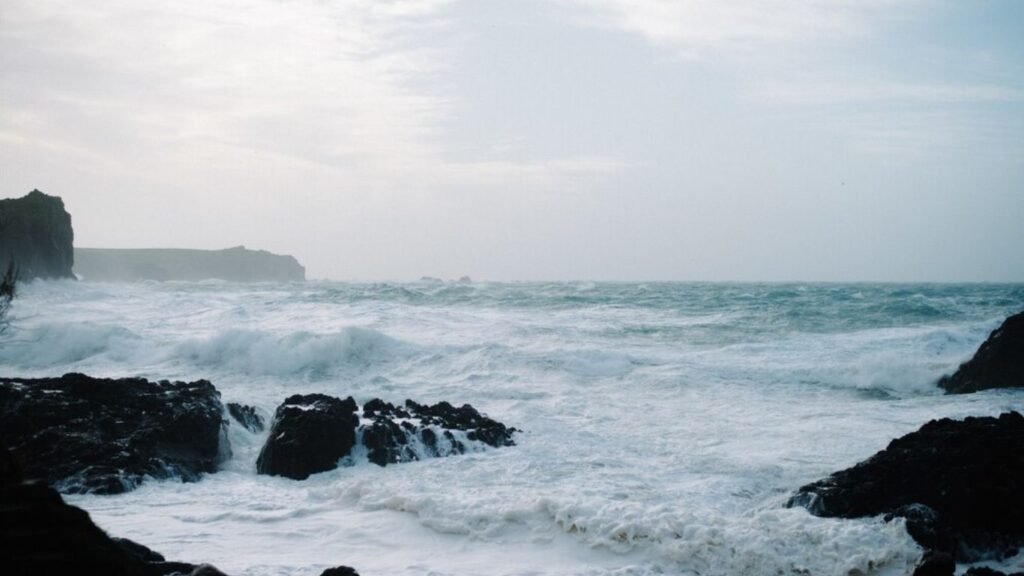
Hydrosphere
The hydrosphere covers 3/4 of the entire Earth (about 71%). 60.7% of the Northern Hemisphere and 80.9% of the Southern Hemisphere is covered by oceans. 97.5% of the total amount of water present on Earth is in the oceans, which is salty. Only 2.5% of the water amount is fresh water or fresh water. surface But about 59% of the falling water goes into the atmosphere through evaporation from the oceans and other places. The remaining part flows on the surface; Some seeps into the ground and some takes the form of glaciers.
Two important properties of ocean water are temperature and salinity.
That large part of the hydrosphere which has no definite boundary is called ocean. Geographers have divided the oceanic part of the Earth into four metropolises. Their names are Pacific, Atlantic, Indian and Arctic. The largest ocean is the Pacific Ocean.
The average depth of the oceans is 3,800 meters and the average height of the land is 840 meters. The height of land and depth of oceans are shown by hypsographic/metric curve.
Sea: That large part of the hydrosphere, which is surrounded by water on three sides and is connected to the ocean on one side, is called sea.
Pacific Ocean:
Pacific Ocean: It covers 1 3rd part of the earth’s surface with its adjacent seas. Its area is 16,57,23,740 square km. Is. Its shape is triangular and its area is more than the area of the entire site. Its top is on the Bering Strait and its base is on the continent of Antarctica. Its length at the equator is more than 16,000 km. In its west are the continents of Asia and Australia, in the east are North and South America and in the south is the continent of Antarctica. Coral reefs are the main feature of the Pacific Ocean. There are altogether more than 2,000 islands in this vast ocean. Most of the coastal seas of the Pacific Ocean are in the western part. Among these, Bering Sea, Sea of Akhotsk, Sea of Japan, Yellow Sea and East China Sea etc. are important. Gulf of California to the east only Is famous. The average depth of its basin is 7,300 m.
Atlantic Ocean:
Atlantic Ocean: It is one-sixth of the entire world. Its area is 8,29,63,800 km², which is almost half of the Pacific Ocean and about 16% of the world’s area. Its shape is similar to the English S-shape. To its west lies America, Europe and Africa to its east, and Antarctica to its south. In the north, Greenland is situated on the coast of Hudson Bay, Baltic Sea and North Sea. The most important feature of this ocean is the Mid-Atlantic Ridge. It is approximately 14,000 km long and 4,000 meters high from Iceland in the north to Bouvet Island in the south. It is a submerged ridge, yet many of its peaks have risen above the water and taken the form of small islands. Pico Island of the Azores and Cape Verde Island are prime examples of this. The steepest peak is of the St. Paul Islands near the equator. Bermuda Atoll and Ascension, Trista de Cana, St. Helena, Gua and Bovet Islands are volcanic islands in the southern Atlantic Ocean. This ocean becomes wider near 55° north latitude. Where it is called Telegraphic Plateau. Romanche Deep near the equator divides it into two parts. The northern part is named Dolphin Range and the southern part is named Challenger Ridge. Along the coasts of the Atlantic Ocean, Baffin Bay, Hudson Bay, North Sea, Baltic Sea, Gulf of Mexico, Mediterranean Sea and Caribbean Sea are important seas. The coastline of the Atlantic Ocean is very fragmented. Due to this, the length of its coastline is more than the total length of the coastline of the Pacific and Indian Ocean. There are very good ports on the indented coastline.
From the point of view of trade, the Atlantic Ocean is the busiest ocean in the world.
Indian Ocean:
Indian Ocean: Asia continent in the north, Asian continent in the south Antarctica is the continent of Australia in the east and Africa is the continent in the west. It is a semi-ocean. Its total area is 7,34,25,500 square km. It is joined by the Pacific Ocean on one side and the Atlantic Ocean on the other. The Tropic of Cancer is the northern limit of this ocean. Examples of this are the Lakshadweep and Maldives coral islands near the south-west coast of India. Mauritius and Reunion Island are islands resulting from volcanic process. The largest island of this ocean is Madagascar. To the east of Madagascar is the island of Mauritius. There are only two actual coastal seas in this ocean. These are the Red Sea and the Persian Gulf. The Arabian Sea and the Bay of Bengal are also counted among the seas, but these are only the northern extensions of the Indian Ocean. Diego Garcia island is in this ocean.
Arctic Ocean:
Arctic Ocean: It surrounds the North Pole. It is located inside the Arctic Circle. In fact it is the northern extension of the Atlantic Ocean. It is connected to the Pacific Ocean by a narrow stretch of shallow sea called the Bering Strait. It is surrounded by the northern coasts of Europe, Asia and North America. Most of its part remains covered with thick layers of snow throughout the year. The Celebes Sea is in this ocean.
Note: The largest among the oceans is the Pacific Ocean and the smallest is the Arctic Ocean.